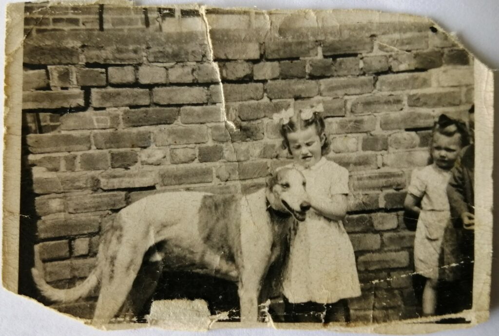
Broomside Lane, Carrville, County Durham.
POSTCODE———————————DH1 2AB
LOCATED————————————About two miles north east of the City of Durham located on the western side of the A1 in a village called Carrville.
ORIGINAL SITE—————————–Farm grazing land alongside Broomside Lane at the rear of Pancake Hall.
DATE CONSTRUCTED——————–Don’t know.
DATE VENUE OPENED——————-1940
Meaning other sports may have taken place prior to the arrival of Greyhound Racing.
FIRST MEETING—————————–July 15th 1940.
Greyhound Racing only.
LICENSED OR INDEPENDENT———-Independent
All venues covered would have to be licensed with the government, licensed suggested in this section would refer to tracks operating under NGRC Rules.
INSIDE OR OUTSIDE HARE TYPE——Don’t know.
Please note that the Electric Hare suggested is only a guidance and would have been in operation for a certain amount of time at this venue. Although it is not necessarily guaranteed that it was operational all the time, as other types of lure may have been used and updated as time progressed.
DISTANCES———————————–Don’t know.
Please note that most racing venues distances had become varied throughout the years, the ones given above were at once point set and offers only a guidance to the track size.
CIRCUMFERENCE—————————Dont know.
Please note that alterations at most racing venues throughout its existence would see that the circumference of the track would vary, the one shown above offers only a guidance to the track size.
BIG RACE NAMES—————————None found.
STADIUM SHARED WITH—————–Civil Service Strollers FC., and Durham City Football Club.
LAST MEETING——————————1969
Greyhound Racing only.
STADIUM CLOSURE DATE—————1969
Meaning other sports may have taken place after Greyhound Racing had ceased.
STADIUM DEMOLITION——————Dont know.
BUILT ON SITE——————————Houses on Breackendale Road and Rosedale Road.
In some cases, structure’s that originally covered the venue after the stadium had been demolished, may have been themselves demolished too, so the one described is more likely to be the one which now presently covers the site.
EVIDENCE LEFT TODAY——————None known of.
FURTHER COMMENTS——————-None


Located two miles north east of the City of Durham, and virtually a stones throw from the busy A1, lie’s the small ex mining town of Belmont. The town became the home of Belmont Greyhound Stadium, a track which developed prior to the outbreak of the Second World War.
It was constructed on grazing land adjacent to Broomside Lane, situated at the rear of Pancake Hall. The track like so many others around this period was primitive, although it had a small covered stand that overlooked the track from a north westerly direction. It began, and continued throughout its days as an independent flapping track, opening up with its first meeting on the 15th of July 1940. Racing was allowed to continue throughout the Second World War hostilities, and like most other tracks staged meetings during daylight hours.
The stadium also shared its facilities with amateur football clubs such as Civil Service FC, and also Durham City Football Club who at the time had found themselves homeless, but that was just for a short spell only. Racing ceased at Belmont during 1969, after the stadium had been sold for the development of new housing.
No evidence remains of the stadium today, although the site of the track is located by houses found on Brackendale Road and Rosedale Road.
A programme, photograph or even memorabilia for this track is required for this page, if you can help please contact me.

Recent Comments